Delhi firm roped in to formulate master plans

Delhi firm roped in to formulate master plans
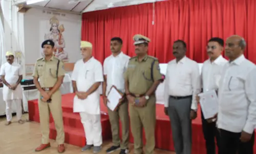
An agreement was signed between the Department of Town and Country Planning and Nodal Agency AMRUT, government of Karnataka and Rudrabhishek Enterprises Limited in this regard
Bengaluru: Karnataka's Department of Town and Country Planning (DTCP) has selected Delhi-based leading infrastructure consultant, Rudrabhishek Enterprises Limited (REPL), for the formulation of GIS-based Master Plans for three Local Planning Areas (LPA) in phase 2, package five of Atal Mission for Rejuvenation and Urban Transformation (AMRUT) cities in Karnataka. Under this project, REPL will have to formulate the GIS-based master plans for Vijayapura (525 sq km), Bagalkot (129.47 sq km) and Badami (15.91 sq km).
The agreement was signed between the Department of Town and Country Planning and Nodal Agency AMRUT, government of Karnataka, and REPL.
The formulation of the master plan would include zoning of land use for residential, commercial, industrial, agricultural, recreational, educational and other purposes together with Zoning Regulations. It will also include a complete street pattern, indicating major and minor roads, national highways, and state highways, and traffic circulation pattern, for meeting immediate and future requirements with proposals for improvements.
This would enable authorities to monitor the land-use changes in real-time in a Geospatial enabled environment and keep a check on violations. With this spatial tool, the thematic maps including existing land use will also be created hence a sector-wise database would be put-together. All these would further coincide with the master plan formulation. Furthermore, the authorities will be able to identify and rectify problems faced by them in development, maintenance and governance of the cities which are consequences of planning in the past such as water logging and flooding, sanitation – UGD, hotspots for road accidents, frequent traffic jams, and slow moving traffic.
Pradeep Misra, CMD of REPL said, "The technology is playing a defining role in the infrastructure development of the country. We have been working on various projects across India using advance and innovative geospatial technology for quite a long time. Our expertise has enabled us in executing these projects with greater efficiency and now that experience will help us in Karnataka too."
Dr Harish Sharma, Executive Director, REPL said, "For the given project we will also collect and collate critical sectoral plans prepared and/or under preparation by relevant government agencies for the project area and extract the various plans and proposals and identify any mismatches with the current master plan.
For smooth execution of the project, we will evaluate the existing master plan and prepare base map and existing land use map with the help of GIS technology using high resolution satellite data. We will also undertake surveys and studies of existing-conditions, major problems and development issues of the cluster towns."


