Live
- BJP highly respects Ambedkar: Purandeswari
- Sensex, Nifty edge down in sluggish trading
- All-round development of CM native village on anvil
- Economy gets into recovery mode after Q2 slowdown
- Fieo charts strategy to push exports to US
- AP to receive rains today and tomorrow amid severe low pressure
- Job scam: No High Court bail for Partha
- Joint teams from AP, TG destroy illicit liquor
- Refusing medical aid to sexual, acid attack survivors an offence
- TTD Parakamani Theft Case: Fresh row as board member seeks probe
Just In

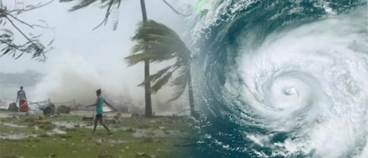
The cyclonic storm Gaja is set to make landfall between Cuddalore and Pamban today evening bringing heavy rainfall to Tamil Nadu
Chennai: The cyclonic storm 'Gaja' is set to make landfall between Cuddalore and Pamban today evening bringing heavy rainfall to Tamil Nadu.
Over 30,000 rescue personnel have been kept on standby by the state government. District collectors of Thanjavur, Tiruvarur, Pudukottai, Nagapattinam, Cuddalore and Ramanathapuram have declared a holiday for schools and colleges today.
All educational institutions in Puducherry and Karaikal regions would remain closed tomorrow in view of the cyclone.
Chief Minister K Palanisamy has also planned to evacuate around 20,000 people living on the coastal line and moving them to relief camps.
The National Disaster Response Force (NDRF) has placed eight teams in coastal areas.
The Indian Navy was also on Wednesday put on high alert in view of the cyclone. "Two Indian Naval ships -- Ranvir and Khanjar -- are standing by to proceed to the most affected areas to undertake humanitarian aid and distress relief," said a Navy official.
The official also said helicopters, Dornier aircraft and one P8I aircraft are on standby to undertake reconnaissance, rescue and casualty evacuation.
'Gaja' that lay over southwest and adjoining southeast and west central Bay of Bengal is very likely to cross coast between Pamban and Cuddalore on Thursday evening or night with a wind speed gusting up to 100 kmph, the Met office in Chennai said.
Against the backdrop of the Central Water Commission advising constant vigil over dams, Tamil Nadu Revenue Minister R B Udayakumar told reporters that dams, lakes and rivers channels were being monitored continuously.
The CWC had advised action as per the Standard Operating Procedure as heavy rainfall in catchment areas could fill up the dams fast in less than 24 hours.
The minister said mobile operators have assured to move 'Cell on Wheels,' mobile platforms to provide uninterrupted mobile connectivity to Nagapattinam and Cuddalore districts which are likely to witness the cyclone impact during landfall. The government has also held discussions with oil marketing companies and they have been advised to maintain sufficient fuel stock, he said.
Fishermen have been asked not to venture into the sea and a comprehensive list of do's and don'ts has also been circulated to the people on cyclone eve, the minister said,
The Met office had warned storm surge of about 1.0 metres likely to inundate low-lying areas of Nagapattinam, Thanjavur, Pudukkottai and Ramanathapuram districts of Tamil Nadu and Karaikal district of Puducherry at the time of landfall.
The IMD also cautioned about major damage to thatched huts. "Roof tops may blow off," and communication and power lines may be affected it had said adding standing crops could also be hit besides water intrusion in low lying areas

© 2024 Hyderabad Media House Limited/The Hans India. All rights reserved. Powered by hocalwire.com


