Scientists Have Found Around 1,000 Long-Hidden Maya Settlements

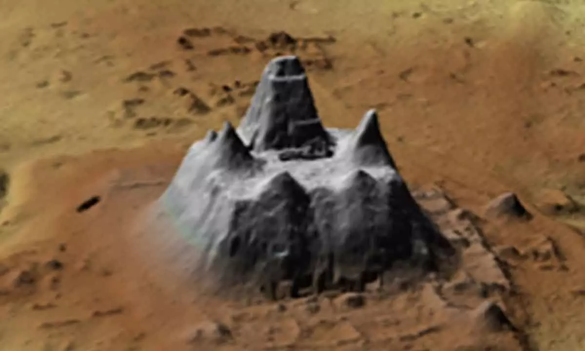
One of the pyramidal complexes uncovered by LIDAR scans.
- Nearly 1,000 previously undiscovered Maya settlements have been located in northern Guatemala
- The new discoveries reveal a wide range of structures, including residences, sporting facilities, municipal centres, and large networks of causeways and canals that connect many of them.
Nearly 1,000 previously undiscovered Maya settlements have been located in northern Guatemala as a result of LIDAR (Light Detection and Ranging) laser scanning from the air, which is a rather significant discovery when it comes to finding vanished civilizations. The houses and structures discovered by researchers span 650 square miles (1,683 square kilometres) of the Mirador-Calakmul Karst Basin and its near surrounds, indicating the large area that these settlements occupy. Between 250 and 1,000 BCE, these locations would have been inhabited.
Scientists can readily see beneath forest canopies and other vegetation growth to the solid structures below thanks to LIDAR's light-based aerial scanning method. It has recently been used to expose settlements in the Amazon and towns in Cambodia.
Researchers will be able to explore a new, enormous civilization network that technology has now uncovered. In the future, we can anticipate further discoveries from this region of the planet as well as other LIDAR-discovered caverns.


