NHAI to track 100 toll plazas with GIS-based software

Union government is also planning to introduce a satellite-based toll collection system using GPS to reduce traffic and toll collection. The pilot has already been completed on the Delhi-Mumbai corridor. The new toll collection system will end the role of toll plazas and tolls could be charged based on the distance traveled at the highway exit
KEY FEATURES
♦ Name of toll plaza
♦ Location of toll plaza
♦ Live status of queue length
♦ Total waiting time
♦ Vehicle speed at plaza
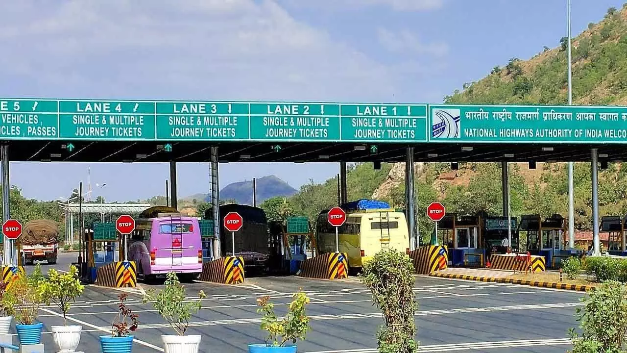
New Delhi: The National Highway Authority of India (NHAI) has identified around 100 toll plazas across the national highways for live monitoring on GIS-based software. This is aimed at enabling the free flow of traffic and a hassle-free toll experience. The web-based software for real-time monitoring of waiting time at toll plazas was developed by NHAI-promoted Indian Highways Management Co Ltd. The software will provide the name and location of the toll plaza, as well as details related to the live status of queue length in meters, total waiting time and vehicle speed at the toll plaza, the Ministry of Road Transport and Highways said.
It will also provide congestion alerts and lane distribution recommendations if the queue of vehicles at a toll plaza is more than the prescribed limit. These toll plazas have been selected based on congestion feedback received through the National Highway 1033 helpline number. The web-based monitoring will be extended to more toll plazas in a phased manner The ministry noted that toll plazas have been mapped in web-based software to the respective NHAI field offices across the country, helping NHAI officials gain insights through comparative traffic condition analysis on an hourly, daily, weekly and monthly basis for the traffic queue and congestion.
“In addition, the software will provide updates related to current weather conditions and information about local festivals, enabling NHAI officials to take preemptive measures to manage the traffic load and decongest the toll plazas,” the ministry said. Meanwhile, the Union government is also planning to introduce a satellite-based toll collection system, using GNSS or GPS, on national highways to reduce traffic and toll collection expenses. The pilot of the satellite-based toll collection has already been completed on the Delhi-Mumbai corridor.
The new toll collection system could eventually end the role of toll plazas and tolls could be charged based on the distance traveled at the highway exit. The government has already invited expression of interest (EOI) for the implementation of the GNSS-based electronic toll collection. “NHAI plans to implement the GNSS-based Electronic Toll Collection (ETC) system within the existing FASTag ecosystem, initially using a hybrid model where both RFID-based ETC and GNSS-based ETC will operate simultaneously,” the ministry had said.


