Tadepalli: Drone cos confident of finishing resurvey in time
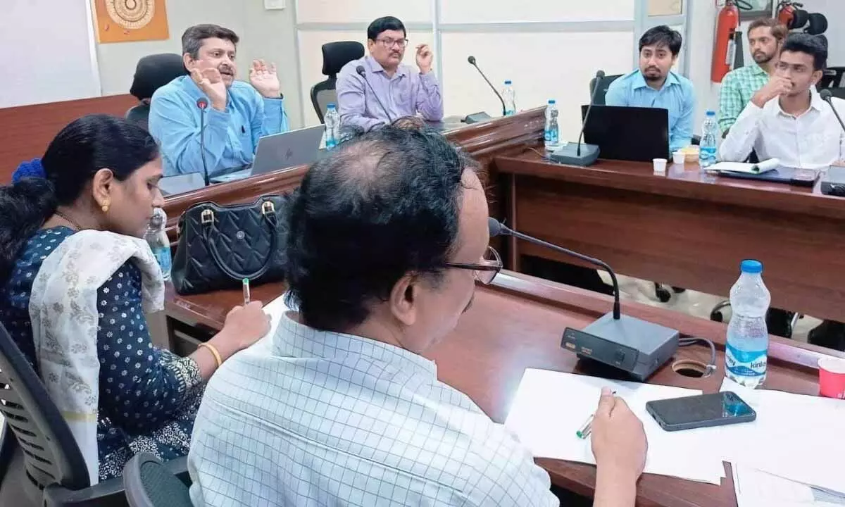
Survey settlements and land records commissioner Siddhartha Jain conducts a workship on use of drones in land survey, at Tadepalli on Wednesday
- Commissioner of Survey, Settlements and Land Records Siddhartha Jain organises workshop on resurvey project
- Drone companies based in Mumbai, Bengaluru and Hyderabad take part, give presentations
- Private vendors taking part in the resurvey project clear their doubts with the drone firms and Survey of India
Tadepalli (Guntur district): Several drone companies which participated in the workshop organised by the commissionerate of survey settlements and land records here on Wednesday exuded confidence that the comprehensive land re-survey project under YSR Jagananna Saswatha Bhu Hakku-Bhu Raksha scheme would be completed without any hitches.
Commissioner Siddhartha Jain presided over the workshop in the office of director of the Disaster Management here to explore the ways to generate qualitative and quantitative ortho rectified images (ORI) from drone survey.
All the private vendors who are actively taking part in AP Resurvey Project were present and raised various technical queries for generation of large scale maps using drone imagery in the project. The workshop discussed in detail the flight planning, drone fly, capturing and processing of ortho rectified images(ORI), ground control points, check points, frequently asked questions (FAQs), dos and don'ts, standards, parameters, mode of observation, quality, speed and other issues.
Officers of Survey of India, who participated in the workshop, put forward suggestions for the improvement of visual quality of ORI, methods to improve positional accuracy of ORI, methodology for quality check of ORI for better results.
The commissioner appreciated the good efforts taken by the Survey of India for generating drone images with optimum precision and their selection criteria in establishment of ground control points (GCPs) and check points to achieve good results.
The commissioner thanked the surveyors D Ravi Babu, Sradda Pradhan and B Rashila for their valuable contribution in the workshop and addressing various issues raised by the participants.
Additional director P Srinivasulu, Kurnool regional deputy director A Venkateswara Rao and Kakinada regional deputy director Kezia Kumari, vice-principal of the Survey Training Academy Ch V S N Kumar and other officers from survey and land records department attended the workshop.
Representatives of Mumbai-based Indrone Solutions and Asteria Aerospace, Bengaluru-based Clear Water Dynamics, Hyderabad-based Yukra, Agri Infra Entergy, Aarav UM Services, IPage UM Services, Kambli Systems, Omnipresent Robotics, SAAR IT Resources, Geomatrix, Genesis International, and Arvee Associates participated in the workshop.
After the companies showcased their presentations, the queries and doubts raised by all the agencies were clarified by the officials of the Survey of India.


