RTGS sounds Red Alert for Srikakulam, Fani impact

Wind speed likely to touch 120Kmph
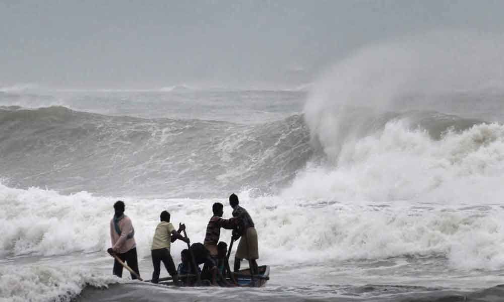
Amaravati: AP Government on Wednesday sounded Red Alert for North & Coastal Mandal of Srikakulam District for 2nd and 3rd Morning as Extremely Severe Cyclone Fani in Bay of Bengal is heading towards Central Odisha Coast.
AP Weather Forecasting and Early Warning Research Centre (AWARE) a division of RTGS predicted that very heavy rainfall forecast for north & coastal Srikakulam and coastal Vizianagaram districts and scattered showers over Visakhapatnam, coastal areas of East Godavari during 2nd and 3rd May.
Red alert for North Coastal Mandal's of Srikakulam district from 2nd noon to 3rd morning with 120Kmph winds. RTGS already alerted all the district machinery to tackle the situation. RTGS is also monitoring the situation through the Surveillance Cameras in the Coastal areas and 24 x 7 strict vigil has been placed.
Aware and Alert Management System and 1100 Parishkaravedika call centre of RTGS are geared up to handle the situation. RTGS has issued alerts to fishermen also advising not to venture in to sea and people too have been cautioned against going to the beaches as the sea becomes dangerous and extremely rough. Chief Secretary of AP also reviewed the situation on the preparedness of district administration of Srikakulam, Vizag and Vizianagaram and other line departments.
RTGS further stated that Fani- Extremely Severe Tropical Cyclone located over (lat:14.4°N long:84.0°E) south west Bay of Bengal, about 360 South East of Machilipatnam and tracking Northward direction and started re-curving System expected intensify till tomorrow morning (With Peak Intensity 200 Kmph) with North North Eastward movement towards Off North coastal Andhra and coastal Odisha.
Fani expected to make landfall in Central Odisha coast between Puri and Paradip on 3rd May afternoon and further will move along the coast and will cross land between north coastal Odisha and Extreme South coastal West Bengal on 3rd May Midnight / 4th May Early hours with 150kmph winds
Mandals Likely to be affected
Srikakulam:
| Mandal | Rainfall forecast (mm) | Wind speed (Kmph) |
| Ichapuram | 161 | 87.26 |
| Kanchili | 189 | 90 |
| Kaviti | 182 | 103 |
| Mandasa | 200 | 112 |
| Nandigam | 230 | 78 |
| Palasa | 189 | 82 |
| Polaki | 169 | 71 |
| Santabommali | 230 | 78 |
| Sompet | 208 | 112 |
| Vajrapukothuru | 262 | 70 |
| Srikakulam | 128 | 95 |
Vijayanagaram:
| Mandal | Rainfall forecast (mm) | Wind speed (Kmph) |
| Bhogapuram | 126 | 55 |
| Chipurupalli | 133 | 51 |
| Denkada | 136 | 47 |
| Gantyada | 106 | 38 |
| Garividi | 113 | 45 |
| Gurla | 129 | 45 |
| Merakamudi | 116 | 45 |
| Nellimarla | 129 | 45 |
| Pusapatirega | 129 | 55 |
| Terlam | 116 | 40 |


