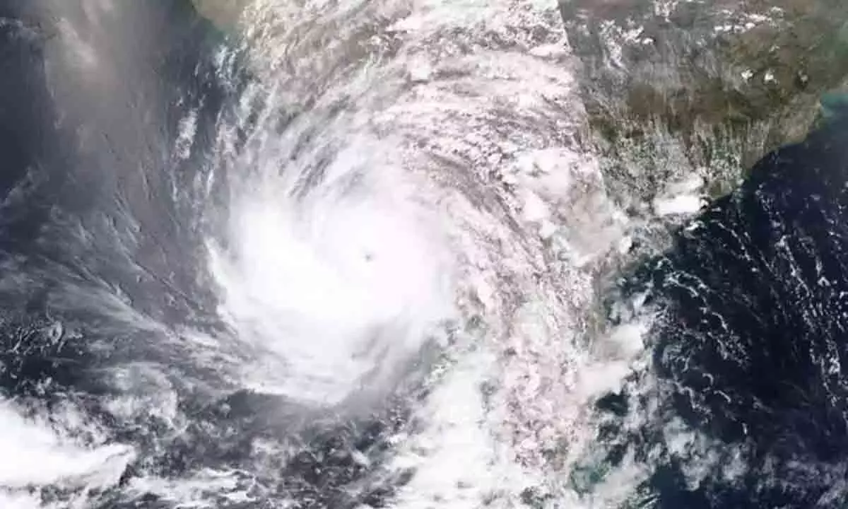
Low Pressure Area forms over Bay of Bengal, parts of AP to receive rains

A low pressure area has formed over West Central and adjoining Northwest Bay of Bengal, as confirmed by meteorological reports, which would lead to occurrence of moderate rainfall in parts of Andhra Pradesh for next three days.
A low pressure area has formed over West Central and adjoining Northwest Bay of Bengal, as confirmed by meteorological reports, which would lead to occurrence of moderate rainfall in parts of Andhra Pradesh for next three days. The low pressure system is currently established over Central Bay of Bengal and its associated surface contour extends up to 7.6 kilometers above mean sea level, sloping southwestward with height.
Weather experts predict that this system will slowly move northward, with a likelihood of intensifying into a cyclone by September 9. Regions at risk include the northwest Bay of Bengal, the Ganga basin in West Bengal, northern Odisha, and coastal areas of Bangladesh.
Following its formation, the cyclone is expected to track west-northwestward over the next 3-4 days, impacting areas such as the Ganga basin in West Bengal, adjoining parts of North Odisha, Jharkhand, and North Chhattisgarh.
At sea level, the monsoon trough continues in a line extending through Bikaner, Narnal, Sidhi, Sambalpur, and the Central Bay of Bengal, indicating ongoing monsoon activity in the region.
Authorities are urged to take precautionary measures as the situation develops, and residents in the affected areas should remain vigilant for updates from local meteorological services.


